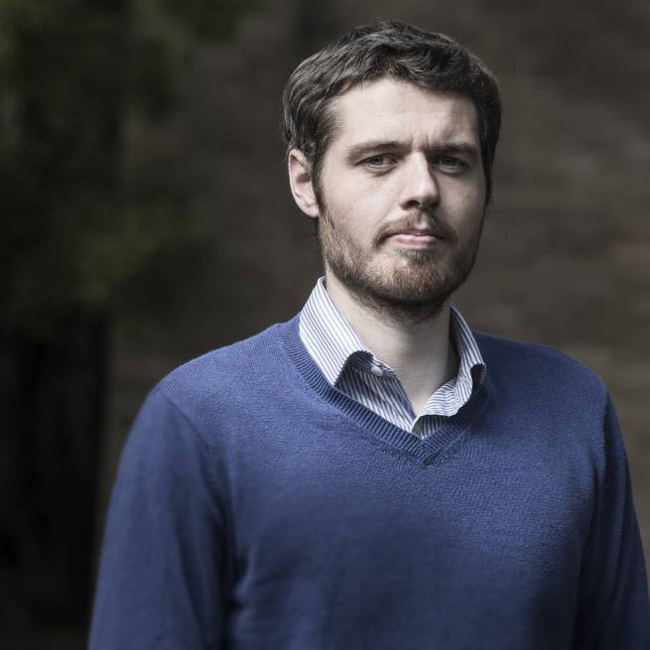
Tomas Holderness is managing partner of the Urban Systems and Environments Research Group, a worker-owned research cooperative based in London and Berlin. His work focuses human-machine networks for urban resilience to extreme weather events, using social media, digital sensors and drones.
He is a visiting-fellow of the MIT Urban Risk Lab, where he developed the Urban Risk Map project, a platform for crowd-sourcing flood response, currently operational in Indonesia, India and the United States. The platform’s open source software ‘CogniCity’ has been recognised by the Open Data Institute and Prix Ars Electronica, and has been cited as an example of best practice by the OECD, the Red Cross, the FCC, the Australian Parliament, and the United Nations.
Previously, Tomas directed the Open Source Geospatial Laboratory at the SMART Infrastructure Facility in Australia, where he developed spatial modelling approaches for infrastructure assessments in data-scarce environments using Open Street Map and Open Drone Map, supported by the Humanitarian Innovation Fund. The lab’s publication on sanitation networks in informal settlements in Africa subsequently received the 2015 James Hill Prize from the Institute of Civil Engineers’.
Tomas is a Fellow of the Royal Geographical Society where he holds the professional title of Chartered Geographer. Supported by the Engineering and Physical Sciences Research Council he received his PhD from Newcastle University in the United Kingdom.

